Map of the Azores
The Map of the Azores gradually emerged and expanded from the years 1325 to 1439 when it was represented in various portolan charts and atlases. However, it was in 1584 that the first map with all the islands comprising the archipelago appeared. Please see the complete map below and detailed maps for each island.
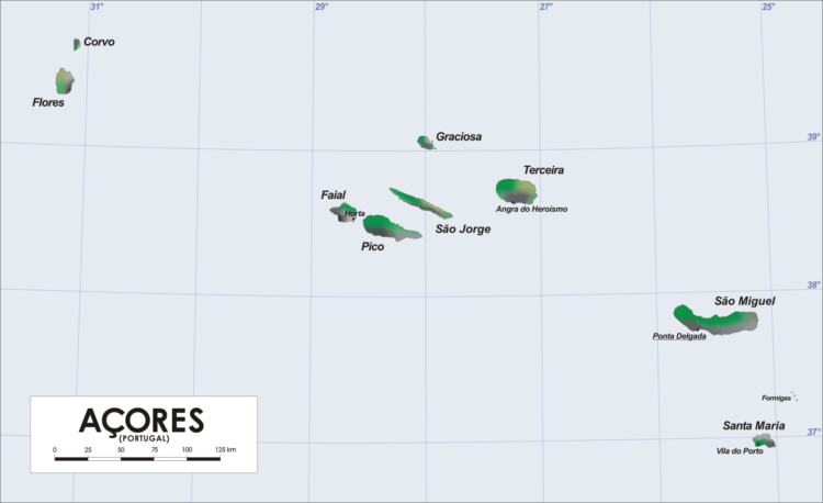
The Azores Archipelago is located in the middle of the Atlantic Ocean and is part of the Macaronesia region, which also includes Madeira, the Canary Islands, Cape Verde, and Northwestern Africa.
Divided into three groups, the Azores consist of 9 islands with a total surface area of 2,329.67 km2.
Eastern Group: Santa Maria (97 km2) and São Miguel (747 km2);
Central Group: Terceira (397 km2), Graciosa (61 km2), São Jorge (238 km2), Faial (173 km2), and Pico (447 km2);
Western Group: Flores (143 km2) and Corvo (17 km2);
Below, you can see the Map of the Azores divided into the 9 Azorean Islands.
Índice de conteúdos
Santa Maria
Santa Maria – Carved by deep bays, the island of Santa Maria has a surface area of 97.42 km2, with a length of 17 km and a maximum width of 9.5 km. Following a low-altitude plateau is a rugged area, with Pico Alto, standing at 590 m, being the highest point.
São Miguel
São Miguel is the largest island in the Azores, measuring 90 km in length and 8-15 km in width. It covers an area of approximately 747 km2 and is divided into six different municipalities: Ponta Delgada, Lagoa, Ribeira Grande, Vila Franca do Campo, Povoação, and Nordeste. São Miguel is also known as the Green Island, due to its endless pastures.
Terceira
As its name suggests (in portuguese Terceira means “Third”), it was the third island in the Azores archipelago to be discovered, after Santa Maria and São Miguel. Terceira Island is approximately 29 km in length and 18 km in width, with a perimeter measuring 90 km and a total area of 402.2 km2. The highest point on the island is at an altitude of 1022 m and is located in the Serra de Santa Bárbara on the western side.
Graciosa
Graciosa Island belongs to the Central Group of the Azores archipelago. It has an area of 60.84 km2 and a population of 5,500 inhabitants. The island measures 10 km in length and 7 km in width.
São Jorge
São Jorge Island is located in the center of the Central Group of the Azores archipelago, separated from Pico Island by a 15 km channel. São Jorge measures 56 km in length and 8 km in width, with a total area of 246.25 km2. The coastline, rugged and almost vertical, especially to the north, is interrupted by small coastal flat surfaces known as “fajãs.”
Pico
Pico Island is the second-largest island in the Azores archipelago, located 8.3 km from Faial Island and 15 km from São Jorge Island. It has a surface area of 447 km², measuring 42 km in length and 20 km in width. It owes its name to the majestic volcanic mountain, known as Montanha do Pico. This mountain is the highest peak in Portugal and the third-largest mountain emerging from the Atlantic, with an altitude of 2,351 meters.
Faial
Located at the westernmost tip of the Central Group of the Azores archipelago, Faial Island is separated from Pico Island by a strait that is 8.3 km (or 4.5 nautical miles) wide – the Faial Channel. It has an area of 172.43 km². In 1924, Raúl Brandão referred to it as the “Blue Island” due to the abundance of hydrangeas.
Flores
Flores Island is located in the Western Group and covers an area of 141.7 km², mostly consisting of mountainous terrain characterized by large ravines and enormous cliffs. The highest point on the island is Morro Alto, at an altitude of 914 meters. Flores is one of the most beautiful islands in the Azores.
Corvo
Corvo Island is the smallest of the Azores archipelago’s islands. With an area of 17.2 km², it measures 6.5 km in length and 4 km in width. Corvo Island is formed by a single extinct volcanic mountain – Monte Gordo, crowned with a wide depression crater locally known as Caldeirão.
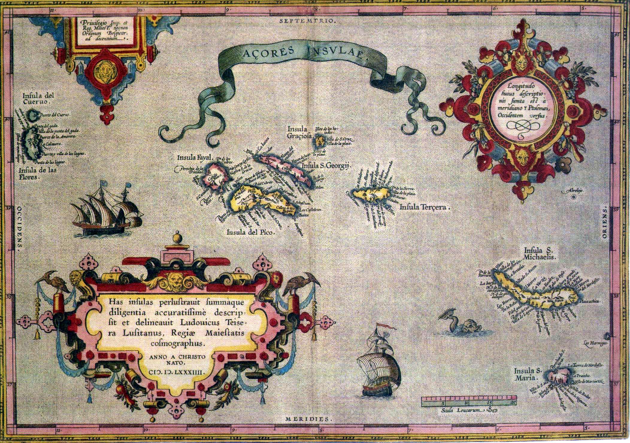
The first map of the Azores
This was the first map of the Azores archipelago by Abraham Ortelius (Flemish cartographer and geographer) and Luís Teixeira (Portuguese cartographer). Some interesting details can be observed in the image below:
Interactive Map
Now that you are familiar with the Azores map in detail, please consider sharing it:


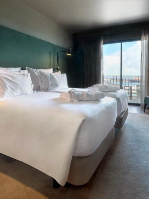
- 🔒 Travel insurance with 15% discount for the Azores or another destination Click here to simulate >
- 🛫 Looking for trips to the Azores? See these promotions >
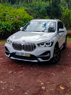
- 🚘 Rent a car in the Azores? The best rent-a-car >
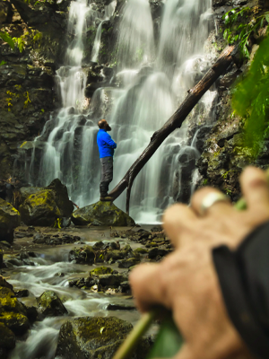
- 🧗🏼♂️ Activities and Experiences during your stay? Check it out here >
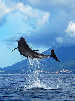
- 🐳 See Whales and Dolphins? Book now online >
- ❌ Have you had a canceled or delayed flight in the last 3 years? Receive your compensation here >